Bike Ride – Sunday 14th August

This month’s ride is an all day ride and will be this Sunday 14th August. The destination will be London with the option of taking the train back from Waterloo (25 miles), or cycling back (50 miles).

The start will be at the usual place, outside the Hand and Spear at Weybridge Station. As it’s an all day ride we’ll be starting at 09:00am. Because of the Olympic test event Brooklands Road and Hanger Hill will be closed, however you should be able to get to Weybridge Station along Heath Road or St George’s Avenue, or by train.

The route into London will be about 25 miles. We’ll take the usual back roads to Kingston and then bear East towards Wimbledon Common. From there we head to Wandsworth where we pick up one of the new cycle superhighways (CS8) which will express us all the way to Westminster. Depending on how slow we are and how quick the pro-cyclists are we might catch a glimpse of them at the finish in the Mall at around 12:10pm.

After a pub lunch those that wish to can take the train back from Waterloo. Those with sufficient reserves will be able cycle another 25 miles back to Weybridge. The return route will pass Buckingham Palace, pick up the Chelsea Embankment to Putney Bridge and then follow Sustrans route 4 through Richmond Park and along the Thames towpaths all the way back to Weybridge.

There a map of the planned route here: http://www.mapmyride.com/routes/fullscreen/45141656/

If you want to come, just turn up at Weybridge Station at 09:00am. If you have questions or need to contact me on the day my mobile number is 0793-0320241.

Other News

The chicanes along Oatlands Drive have been removed. If anyone has driven or cycled along there since their removal I’d be interested in hearing comments about whether you think it’s an improvement or not. Also any ideas about what further could be done would be welcome. At this time we don’t know what will happen after the Olympic race. The chicanes might be reinstated, they might not, we just don’t know.

Events

Want to do a sponsored bike ride? The Leatherhead Bikeathon, in aid of the Queen Elizabeth Foundation for Disable People is on Sunday 18th September. Details here: www.leatherheadbikeathon.co.uk

Also on the same date, Sunday 18th September, is the Brooklands Cycle Festival at Brooklands Museum. Details here: www.brooklandsmuseum.com

Woking Shared Space

Carole Frost from the Woking Cycle Users Group has asked me to circulate the following request about cycle access in Woking town centre:

I hope everyone by now has heard that despite the overwhelming majority of people who signed the shared space consultation for the meeting in March, a change in traffic order has been made asking for the shared space to be banned from 10 to 4 every day of the week, weekends included.

We strongly object to this ban but if it must go through then we would like it to be limited to from 10 to 2:30 so that school children can travel home. Many children live on one side of town and go to a school on the other side of town. Travelling through Woking makes a safe alternative to using the busy Victoria Way. I feel the council has done a disfavour to our school children by publishing this order just as the students break up from school and hence forth it might be difficult to contact parents who would be most affected by this ban.

If you travel through Woking and have concerns about these proposals I would urge you to write a letter of objection. If you have children at any school that will be affected can you please ask their friends to also object. Time is of the essence since we only have till 19 August to make our objections. If you would like to express your views please send them to J. Isaac, Assistant Director Operations, Surrey Highways, Surrey County Council, County Hall, Penrhyn Road, Kingston, KT1 2DN. More information can be found here: http://www.wokingcycle.org.uk/shared_space_-_open_letter.html.

Bike Ride – Sunday 3rd July

This month’s ride is a week earlier than usual. It’s this Sunday, 3rd July. It’s going to be an all day ride and we’ll be teaming up with our neighbours in Woking and heading out to Windsor and beyond.

There’s a choice of starting places. You can start at the usual place outside the Hand and Spear at Weybridge Station at 08:30am, or you can start at the Brewery Road car park in Woking at 09:30am where we’ll be hooking up with the Woking lot.

The route will begin outside the Hand and Spear pub at Weybridge Station. We then head for Woking where we meet the other half of the group. From there we go west to Chobham, Sunningdale and into Windsor Great Park. From there through Windsor and Eton to Dorney Lake. Lunch will most likely be at the Palmer Alms in Dorney. The return route will follow the Jubilee River to Dachet and then along the Thames to Staines and Chertsey before reaching Weybridge. The Woking group will then follow the Basingstoke canal back to Woking.

The total route will be about 50 miles, but the pace will be gentle and it’s mostly flat.

If you want to come, just turn up at one of the starting points at the appropriate time. If you have questions or need to contact me on the day my mobile number is 0793-0320241.

Other News

Last week’s ride at the council’s cycle event had a good turnout for a pleasant ride through Wisley and Ockham commons. Afterwards in Brooklands Community Park we were kept very busy all afternoon on the Elmbridge Cycle Group / Runnymede Sustrans Group stall. Here are some photographs:


More News

There are signs along Oatlands Drive indicating that there will be road repairs starting on Monday for three weeks. The works are actually to remove the universally hated chicanes: http://bit.ly/m1rJiZ. That’s the good news. The bad news is that this is being done in preparation for the Olympics and that they will be replaced once it’s all over. Perhaps common sense will prevail and Surrey County Council will come to realise that it would be better if they were not reinstated.

Next Event

The next bike ride is scheduled for August 14th and it was going to be an all day ride. However this clashes with the dress rehearsal for the Olympic Road Race, so all the roads will be closed. Once we have more precise details about the timing of road closures then I’ll work out a plan for that day. It’ll probably involve meeting somewhere to watch the pro-cyclists go through and then setting off on our own ride.

Bike Ride – Sunday 12th June and Saturday 25th June

Two rides for the price of one this month!

The next Elmbridge Cycle Group ride will be this Sunday 12th June. The second ride will be Saturday 25th June in conjunction with the Cycle Elmbridge event being held on that day at Brooklands Community Park.

Sunday 12th June

This Sunday we will be heading east towards Hampton Court, then Bushy Park and then back through Hampton and Lower Sunbury.

The distance will be a little shorter than normal, around 18 miles. The route, as planned, is here: mapmyride.com

The ride will take about 3 hours depending, as always, on the length of the lunch stop and the pace of the group.

If you want to come along just turn up on Sunday at 11:00am. We meet outside the Hand and Spear pub adjacent to Weybridge Railway Station.

Saturday 25th June

There is a Cycle Elmbridge event at Brooklands Community Park from 12:00 to 16:00 on Saturday 25th June. I will be leading a 10 mile ride that starts from the car park at the southern end of the park at 10:30am. The idea being to arrive back just as the event is starting. The route will be mostly off road through Wisley and Ockham commons, suited best to mountain bikes or hybrids and guaranteed to find some interesting terrain.

The Elmbridge Cycle Group, in conjunction with the Runnymede Sustrans Group, will have a stall encouraging people to ride their bikes more. We do need more volunteers to help man the stall, so if you have an hour or two between 12:00 and 16:00 and would like to help please let me know.

Bike Ride – Sunday 8th May

The next Elmbridge Cycle Group ride will be this Sunday 8th May.

We will be heading south this month. Mainly off-road, we’ll go along the Basingstoke Canal, turn east towards Ripley and then back through Wisley and Byfleet.

The distance will be about 22.5 miles. A map of the planned route is here: www.mapmyride.com.

The ride will take 3 to 4 hours depending, as always, on the length of the lunch stop and the pace of the group.

If you want to come along just turn up on Sunday at 11:00am. We meet outside the Hand and Spear pub adjacent to Weybridge Railway Station.

In other news, twelve of us successfully completed our ride to Paris last weekend. You can read all about the drama and see pictures on the web-site: www.elmbridgecycle.org/paris-2011. We’ve raised over £1,000 for charity but we are still accepting donations if you want to give you support.

Weybridge to Paris – Mission Accomplished

We did it!   200 miles, 12 cyclists, 11 bikes, 4 days, 1 puncture, 1 hospital visit.

The plan was conceived in January by John McMahon and after months of planning, reconnaisance, training and preparation twelve of us set off from Weybridge to cycle all the way to Paris.

Read the day-by-day account and see photographs of our adventures here:

It’s not too late to sponsor us:

  • Steve is raising money for Macmillan Cancer Support, you can donate here: www.justgiving.com
  • George and Danny are raising money for the Weybridge Sam Beare Hospice, you can donate here: www.justgiving.com
  • Sandra is collecting for Shooting Star CHASE, her page is here: www.justgiving.com

Many thanks to those who have already given their support to these charities.

Finally, here are interactive maps and route notes if you feel inspired to attempt a similar trip:

  • Weybridge to Newhaven, 71 miles, 1079ft vertical climb: Map Notes
  • Dieppe to Forges-les-Eaux, 35 miles, 899ft vertical climb: Map Notes
  • Forges to Le Chesnay, 81 miles, 2313ft vertical climb: Map Notes
  • Le Chesnay to Eiffel Tower, 11 miles, 285ft vertical climb: Map Notes

Total miles: 198
Total vertical climb: 4,576ft

Weybridge to Paris – Day 4

We stayed overnight near Versailles, just 10 miles from the Eiffel tower, so today was going to be a breeze. We made a leisurely start at 9:30am and at the very first junction it all went wrong. Half the group turned left and the other half turned right. Rolling to a halt both groups wondered what the other group was doing. After a few minutes of discussion and very close inspection of the maps we finally came to a consensus on which way we should go.

Traffic was busy, very busy. This was a shock after several days where we had hardly seen a car at all. It was the Monday morning rush-hour. We gritted our teeth and kept going.

Another forest. The Bois des Fonds Marechaux. Back to the car-free experience we had grown used to. Crossing a busy road we found ourselves in the Foret Domaniale de Fausses Reposes on a quiet road that took us to the idyllic suburban village of Marnes-la-Coquette. Next we were into the Parc de Saint Cloud, a more formal park with long avenues and fountains.

We arrived at a fountain and our first views of Paris, with the Montparnasse Tower just visible through the haze. After Ian’s map blew into the fountain, he made Helen climb in and retrieve it. She seemed to enjoy paddling in the mud at the bottom so maybe Ian didn’t have to coerce her too much to get his map back.

Next it was downhill all the way through the suburb of Saint-Cloud to our first sight of the Eiffel tower and our second crossing of the Seine. This was on an old footbridge that used to be the aquaduct that brought water into the centre of Paris.

As we passed through the Bois de Boulogne there was one mile to go. John took over the lead at this point as he and Angela had done some reconnaisance on their last visit to Paris just a couple of weeks ago. The roads were busy but we kept together and in no time we reached our destination. The Eiffel Tower. We’d done it.

It was just before 12:00, and the first drops of rain fell as we stood under the tower. As the rain started to intensify we found a nice Thai restaurant for a long and well deserved lunch. The rain eased off and as Ian, Helen, Steve, Simon and Stephanie set off for an early train back to London the rest of us went to the Seine to dip our wheels in.

Weybridge to Paris – Day 3

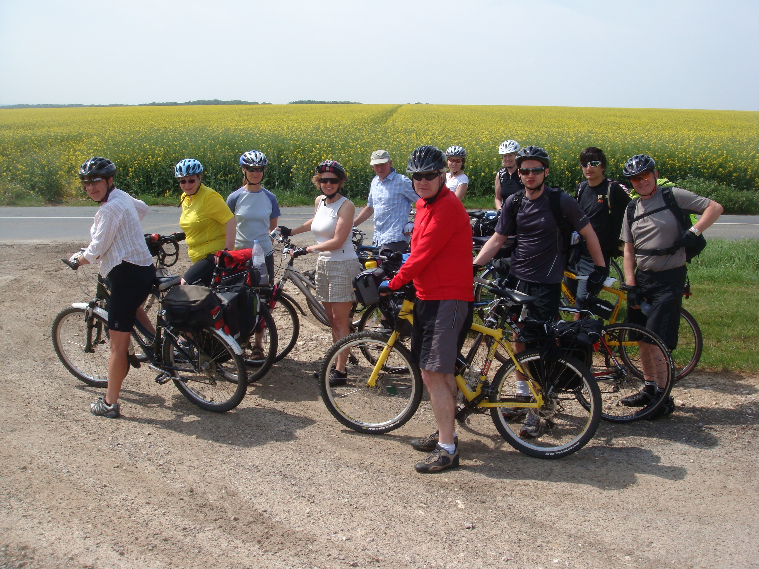
Sunday was going to be the biggest day, longer than any of the others and more hills. Navigation would also be important as none of us had done this section of the route before.

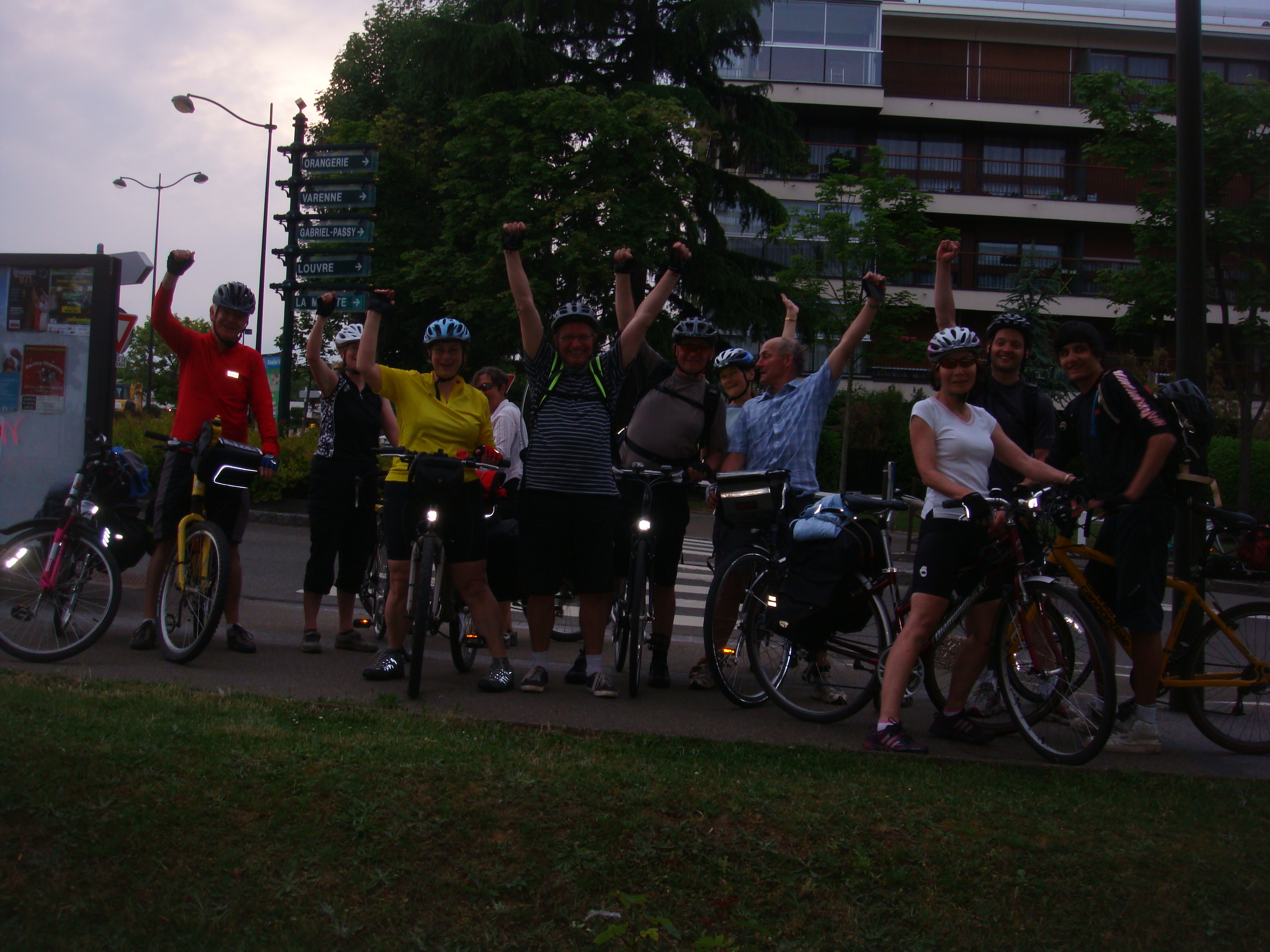
We left Chris behind at this point as he was nursing an old injury and knew he wouldn’t be able to do the whole distance. He planned to take his time cycling back to England. So we were now back to the original 12 cyclists.

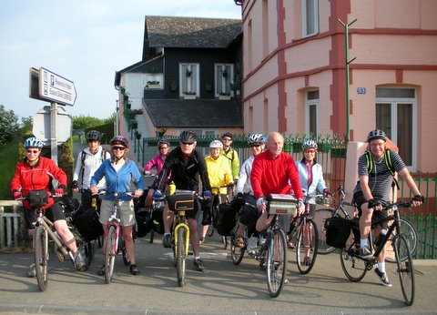
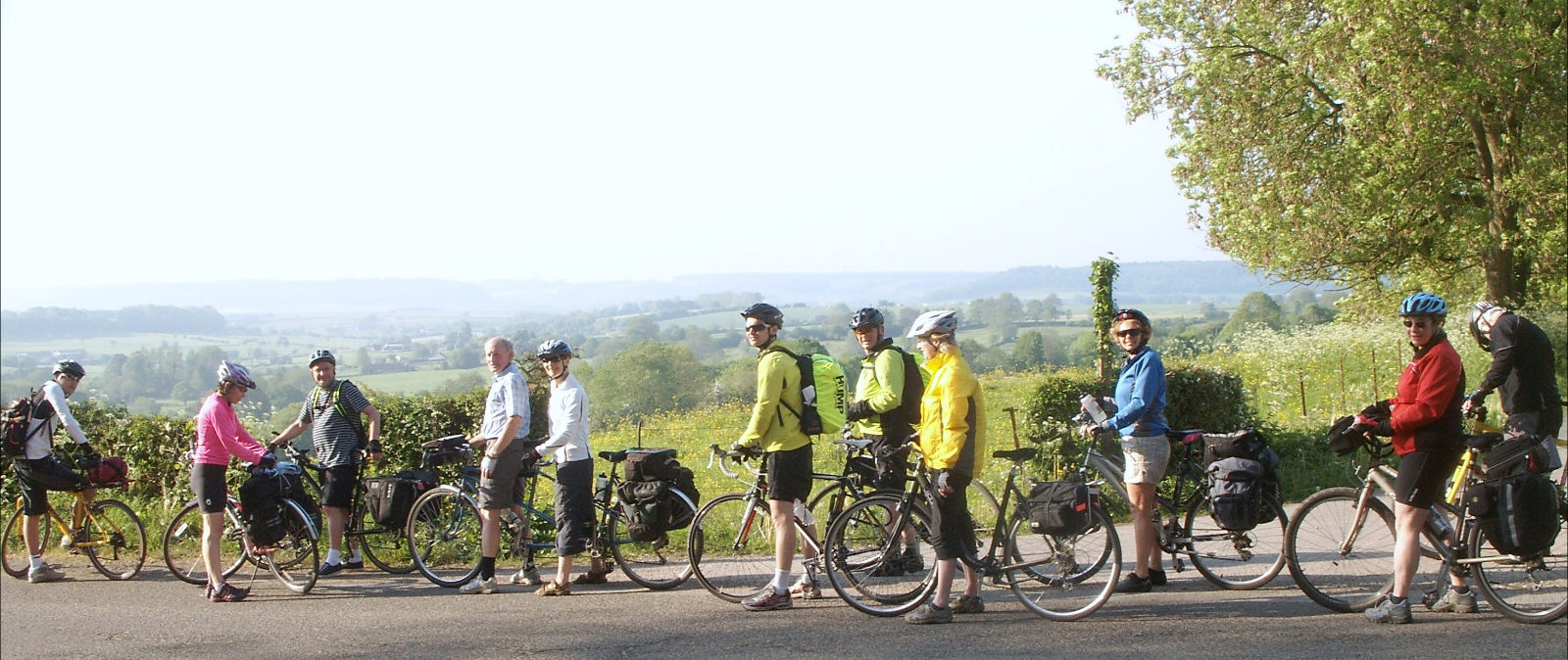
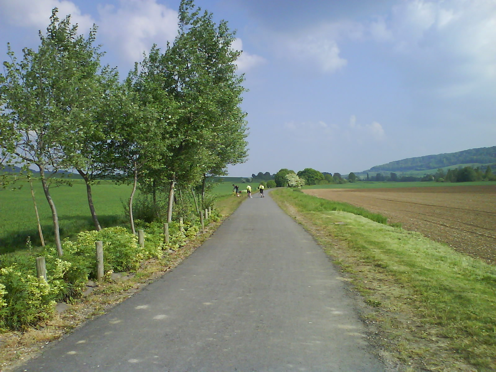
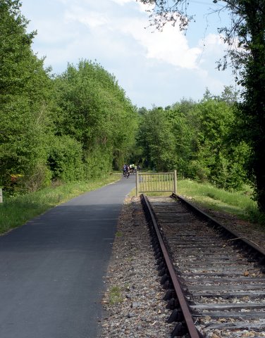
We headed due south from Forges-les-Eaux following the final remnants of the Avenue Verte before climbing our first hill of the day up to La Ferté-Saint-Samson. We were treated to a glorious view of the vally ahead, and as the weather warmed up the day was looking very promising.

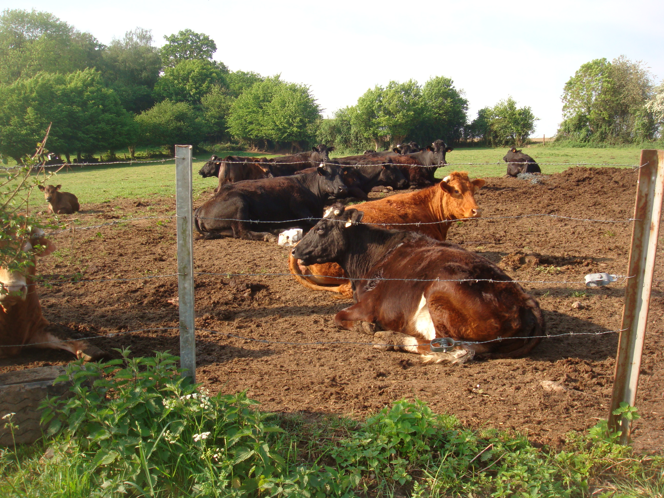
Dropping down into the valley, the Pays de Bray, we followed lovely quiet lanes towards our next destination, the town of Gournay-en-Bray. This is cheese country, every other field contained contented cattle, and as Sandra wasn’t wearing purple today we didn’t spook them as we passed.

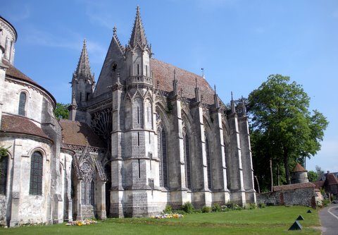
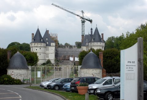
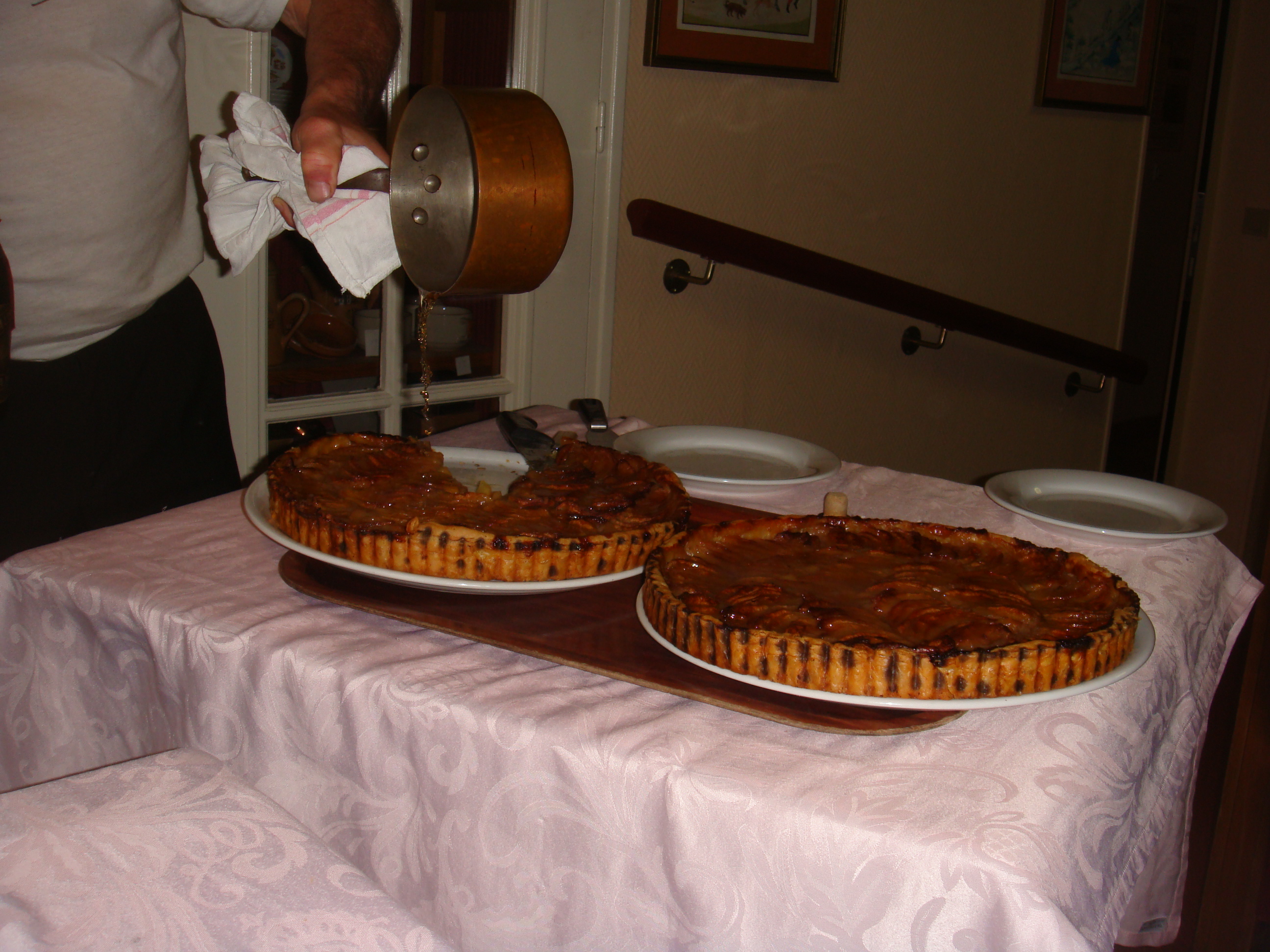
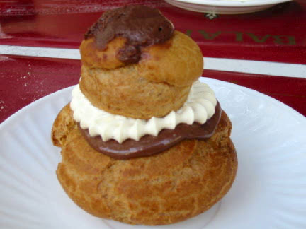
After Gourney-en-Bray we came to the charming village of Saint-Germer-de-Fly. Here there was an early gothic Abbey dating from the 13th century, although some people, mentioning no names, were more interested in les religieuses au chocolat from the nearby patisserie.

After this there was a long climb up to a plateau where you could see for miles in every direction. It was exhilarating, we felt on top of the world.

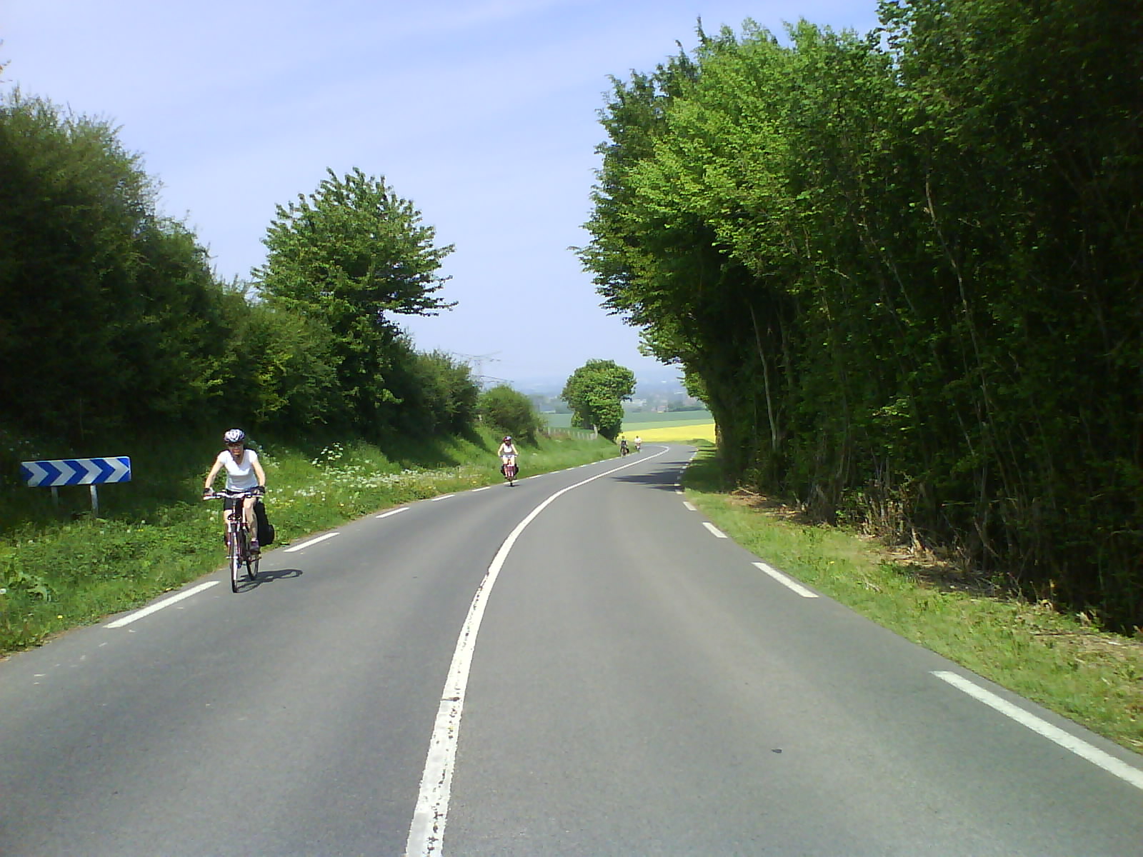
Through the next few villages the wind increased and seemed like it was always in our face. But after a change of direction at Juoy la Grange we had it behind us and we could see all the way to Monneville which would be the next big climb of the day.

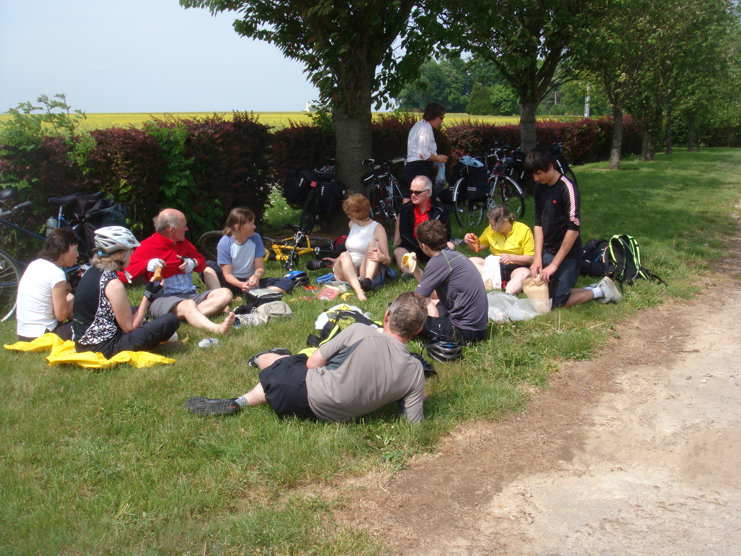
Lunch was an impromptu roadside picnic. Cheese, ham and baguettes hit the spot as we relaxed for a while in the sunshine.

There were now small villages every couple of miles until we reached the big hill climb going up toward Monneville. Halfway up an ancient black Citroen passed us, honking and waving – it was just the encouragement we needed for this one. At this point Ian and Helen on the tandem and Simon on his fast road bike pushed on hard to enjoy the rolling hills between here and Marines which was the next big town.

When we reached Marines they had located a patisserie and we were able to refuel with cookies and cold drinks. Bliss.

After Marines, we quickly passed through Us and Ableiges and La Villeneuve Saint Martin arriving at the quaint village of Courdimanche where we stopped outside a very pleasant and friendly creperie. Mechanical reliability was good, everyone going well and the towns and villages were getting ticked off quickly, even the hills seemed to be getting easier.

Next came Boisemont and then we were into our first forest, the Foret de l’Hautil. Without warning we were on a steep downhill road heading towards the river Seine. The hill just went on and on, getting faster all the time. Then the road narrowed and the bends became tighter, and still we went faster. The last bend seemed to go on forever before throwing us out at a junction with the river Seine laid out dead ahead. Wow.

We were in Triel-sur-Seine, a place where hidden treasure is said to be buried. Crossing the river we passed through Medan and Villennes-sur-Seine and then a stiff climb into Poissy. Then we were into another forest. It was now 7pm and the day was drawing in. We stopped for a rest and were immediately attacked by hungry mosquitoes and noseeums. Time to move on before we lost all the light.

We passed a riding stables and crossed a major road into another forest. Here the Route des Princesses turned out to be a really steep hill. As long and steep as anything we’d encountered all day – we were all tired, there was another 5 miles to go and this hill was close to defeating us. Eventually we reached the top, and it was the top. There was no more uphill left in France, we’d done it all, surely we had?

We found ourselves next to the Autoroute de Normandie, the main motorway to the West of Paris leading to Rouen. The path felt a bit like it was downhill, pedalling was getting easier. Then it felt a bit more downhill, and then a lot downhill. The going was easy. Effortless as we whirred through the forest. It was almost dark now and the line of a dozen red flashing rear lights stretched out through the trees.

We were out of the forest, swooping down a motorway ramp onto a busy three lane highway. Improbably, there was a cycle lane here and still we were going downhill. This was fun.

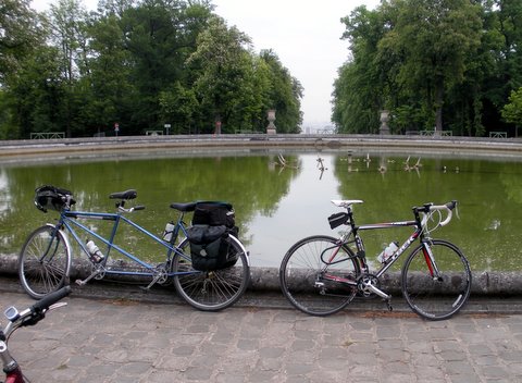
Suddenly another junction and we were off the motorway and there right in front of us was our hotel.

82 miles, 2,300ft vertical gain, 11 hours cycling, no punctures, 12 happy cyclists.

Weybridge to Paris – Day 2

Day 2
The skies were grey and overcast. It was chilly and rain was threatening. The ferry to Dieppe was due to sail at 9:30am but we had to check in at 8:00am, so no chance of a lie in.

On the way to the ferry we stopped off at Sainsburys’s for breakfast and provisions for the journey… and a few squirts of WD-40.

Once on the ferry, we had several hours to kill so we read the newspaper reports about ‘the’ wedding and admired the lacework on Kate’s wedding dress. There were at least three other cycle groups on the ferry, all bound for Paris. I was taken aback by some familiar faces – it was Ian and Sarah, two people I know from Weybridge! They would be staying in the same town as us tonight and were also cycling to Paris. Small world.

Disembarking at Dieppe was a bit of crush. What seemed like 100 people with bikes started to walk down the exit ramp. It was at this point that disaster struck. A safety cover had not been placed over an opening on the ramp. Barabara was unlucky enough to put her foot in it and went right in up to her knees. Her left knee swelled up straight away and she had a nasty scrape on her arm. The pompieres were called and a bag of ice fetched from the bar. We’d hardly set foot in France, it was starting to rain, one of our party was injured – and we hadn’t even got on our bikes yet. Not a good start.

The Sapeurs-pompiers are the French fire service, but in Dieppe they also run the ambulance service. They arrived within minutes and after a brief examination decided that Barbara needed to be taken to hospital for an X-ray.

As a veteran of the Dieppe Raids, Chris knew the town well so he lead us to the hospital. Helen hopped off the tandem and rode Barbara’s bike there, so we wouldn’t need to go back for it. The Urgences department was busy and it was clear that the X-rays were going to take a while. So Chris led the majority of the group to the start of the Avenue Vert route so they could set off towards today’s destination, Forges-Les-Eaux.

Fortunately the X-rays showed that nothing was broken. Barbara bravely decided to press on, taking the back seat on the tandem for a while to make it easier. We finally set off from Dieppe at 5:30pm which was three hours later than planned. We only had 35 miles to do today, so our destination was still achievable.

The Avenue Verte is a disused railway line but unlike the dirt track that we followed in England, this was tarmac all the way without a single bump or pothole. A motorway for cyclists. The rain had stopped, patches of blue sky were showing and we made good progress. Passing through the back of numerous small villages and we saw backyards full of chickens, geese, ducks, pigs and goats. Between the villages the meadows were filled with Charolais cattle and occasionally sheep. To our right we sometimes caught glimpses of the river Béthune that meandered through the bottom of the valley.

We stopped briefly to admire the Château de Mesnières-en-Bray. A beautiful renaissance style building with two large circular towers, each topped with slate conical roofs. It was badly damaged by fire in 2004 and parts are still being restored.

Our next target was Neufchâtel-en-Bray. The Avenue Verte was starting to slope upwards now and the clouds were darkening. The tarmac was wet indicating rain ahead.

About 3 miles outside Neufchâtel-en-Bray we got a text message from the lead group saying they were having tea there. We caught up with them just as they were finishing. From here it was now only 10 miles to Forges-les-Eaux.

On our way we came across a scaled model of the solar system – just to the side of the cycle path was a 1 metre diameter yellow sphere. This was a scale model of the Sun. As the real Sun is 1,392,000 kilometers in diameter this model was roughly 1.4 billion times smaller. A few yards away was another sphere, this was Mercury, quickly followed by Venus, the Earth and Mars all within 150 meters, and all placed at distances that were to the same scale as the Sun. At the same scale we passed the outermost planet Pluto about 8.5 kilometers later.

With the rain holding off and the group now all together we quickly completed the last stretch to Forges-les-Eaux. The Sofhotel was expecting us and quickly showed us the lockup garages at the rear where we could safely store our bikes. Just as quickly we were checked in and we could see our dinner table was already set and waiting for us.

Dinner was a feast. Traditional Normandy fare of cheese salad, sorbet with calvados, veal, more cheese, and tarte aux pommes avec more calvados. In the other part of the restuarant was a large birthday party going on accompanied by a trumpeter playing happy birthday and other French tunes. We were delighted when he came over to our table and serenaded us, first with Rule Britannia and later when he heard what we were doing he played It’s a Long Way to Tipperary. The whole evening was a great finish to a day that had definitely had it’s ups and downs.

Weybridge to Paris – Day 1

Day 1
Seven of us (Angela, John, me, Danny, Steve, Simon and Stephanie) set off from Weybridge at 7am after first dipping our front wheels in the Thames. This is a tradition from the Coast to Coast route and although we would be cycling from the Thames to the Seine, we thought we could do the same thing.

One objective of day 1 was to reach Newhaven using only the Sustrans National Cycle Route network. For this reason we set off along route 4, which runs from London to Fishguard in Wales. We didn’t go that far though, just using it to get to Chertsey where we switched onto route 223, a newly established route that leads through Woking to Guildford.

We arrived at Woking Leisure Centre at 8:15, already 15 minutes behind schedule, where we met with the rest of the group, Ian and Helen on their tandem, and Barbara, Sandra and Lynda. The twelve of us then set off at a cracking pace to Guildford. Our first encounter with cows was at Riverside Park just before we reached Guildford. This was where we first discovered the effects of Sandra’s bright purple cycling jacket. Disturbed from their morning breakfast of fresh grass the herd of cattle bolted straight across our path very nearly taking out Sandra in the process.

Reaching Guildford High Street, which was largely deserted, we stopped for a photo opportunity under the clock, while the man at the Guildhall was busy putting out the bunting for the big wedding. Despite our fears that the forecast was rain, it was starting to warm up and the sun made it’s first appearance. Our spirits were high.

At the bottom of the High Street we reached the end of route 223 and switched on to Sustrans route 22. This took us to Shalford and the start of the old Guildford to Horsham railway line, which was axed by Mr Beeching in 1966 after 101 years of service.

In no time we were through Bramley, where the old station platform is still evident, and heading towards Cranleigh.

After a brief stop, we set off from Cranleigh, with the intention of reaching our scheduled coffee stop at Southwater by 11am. But this was when Simon had our first (and only) puncture. The path from Cranleigh is a bit rougher and the flint stones are not cycle friendly.

Simon was using very lightweight race tyres and a flint chipping made a quarter inch gash in the wall of his tyre. The deflation was explosive. Luckily we had a ‘boot’ which we used to reinforce the tyre wall from the inside, allowing Simon to get enough air pressure to carry on riding – at least temporarily. However, he didn’t want to risk another puncture and so he and Steve decided to take the road route to Shoreham.

Now down to 10 people our next stop was Southwater Country Park. The sun was shining brightly by now and the enormous cakes served in the cafe were just the energy boost we needed. There was no TV at the cafe but we got word from the ladies serving there that the wedding dress was gorgeous.

The next section of the route along the railway path was particularly rough. Ian and Helen felt it would be too much for their tandem and elected to take an alternative road route. Barbara, Sandra and Lynda took off with them as well, preferring the few extra miles to the rough and bumpy path.

At this point we were now three groups all converging on Shoreham with a rendezvous at a pub which we vaguely thought was on the outskirts of Shoreham and was called something like The Windmill. In the back of my mind I worried about all the things that could go wrong with each group and how we were going to pull everyone together again.

My worries were unfounded. The pub turned out to be named The Amsterdam (close enough!) and we all arrived within about 10 minutes of each other, including Simon and Steve who must have sprinted all the way after getting their puncture repaired. It was now 2:30pm, we’d lost time all along the way, but with only 25 miles left to do, we had plenty of time to reach Newhaven.

Avoiding Shoreham High Street we zigzagged through the back streets of the town towards the sea. This was street party territory. Everyone was enjoying themselves and waving as we passed. We quickly reached the long spit that forms Shoreham harbour. Here we turned east toward Hove and Brighton and straight into a strong headwind.

We reached Brighton by 4pm. The streets were full of people in Royal Wedding Bank Holiday party mood. We stopped here for an hour while Simon found a bike shop and got some new tyres. While Simon was getting fixed up we all sat on the promenade with ice creams and watched the world that is Brighton on a Bank Holiday go by. Sandra entertained us all by teaching pigeons how to eat chips. One developed an interesting technique of throwing the chip over the back of it’s head – not very effective as the next pigeon would steal it before it could turn around.

Leaving Brighton at 5pm, we passed the marina and started to climb up towards Rottingdean. The wind strengthened as we gained altitude.

With fully loaded packs and 60 miles under our belts the headwind and the proximity of heavy trucks and busses made the going very tough. We were all finding it hard and there was plenty of climbing to do to reach the top of the ridge where the road then swooped down into Newhaven.

6:30pm, the first day over. 70 miles completed (except for the Woking lot who had ‘only’ done 60 miles). We checked in to our respective hotels, the Premier Inn which was standard and the Newhaven Lodge which was delightful. Both were fully accommodating of our bicycles and gave us a friendly welcome.

The last member of our group Chris was due to join us here and was already checked in at the Premier Inn when we arrived.

As we all sat down to dinner there was a flash of lightning, a clap of thunder and the heavens opened. We’d dodged the weather today, but with our group now numbering 13, were we going to continue to have luck on our side?